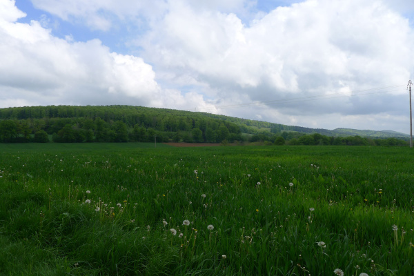
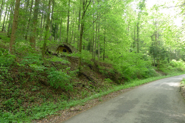
The Glaserberg range is one of the last Jura foothills and the western continuation of the Blauen ridge in the Région Grand Est, near the Swiss border. The ridge line of the Glaserberg is marked by three peaks: The "Sommet du Glaserberg" (816 m), the "Signal du Glaserberg" (788 m) and an unnamed peak at the very eastern edge of the crest line (790 m). In contrast to the Swiss Blue, the forests on the Glaserberg are less intensively managed, giving parts an almost primeval forest appearance and an interesting mushroom flora. Nature lovers can also find various amphibian species, such as the mountain newt, at the ponds and pools.
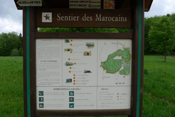
The area served as a base for French-Moroccan troops during the Second World War and still has numerous military buildings, so-called "Sentier des Marocains". There is an orientation board at the Bildstöckle car park.
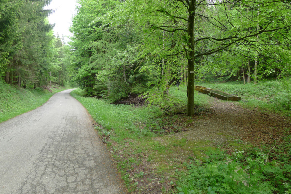
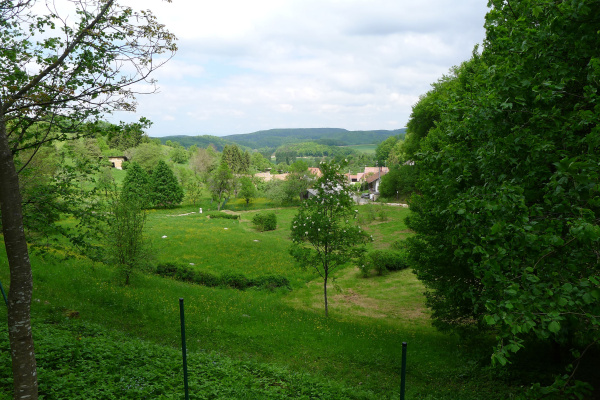
Thanks to the good accessibility of the area through numerous hiking trails and their good documentation at the starting point, the Glasberg is suitable for extended walks and hikes. In addition, the area is a popular cross-country skiing area in winter.
Tour
If you have half a day or even a full day to spare, a tour by the Basel WWF is highly recommended. Starting points are the stations "Laufen, Bahnhof" or "Kleinlützel, Chlösterli". From there, the area can be explored in about 10km. An almost closed, quiet floodplain landscape can be found along the "Route Internationale" between Moulin Neuf near Roggenburg BL and the French Lucelle (Grosslützel), where another nature reserve ("Etang de Lucelle") invites you to linger. End point is the station "Roggenburg, Dorf" or "Delémont, Bahnhof".
Refreshments
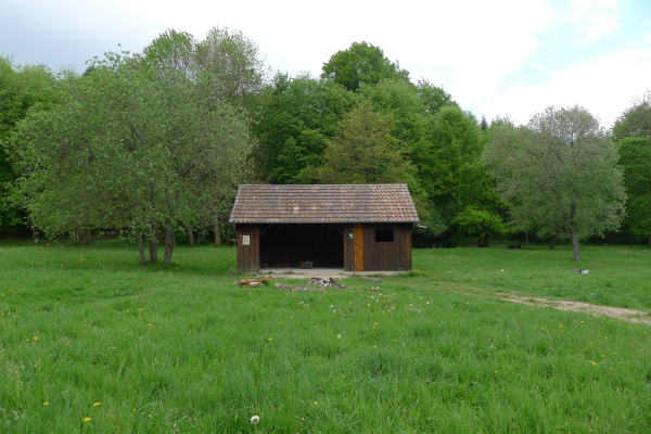
At the Bildstöckle car park there is the possibility of picnicking and a rain shelter is also located there. However, there are hardly any other shopping or refreshment facilities in the immediate vicinity. It is therefore advisable to bring along food and drinks.
Other greenbelt sites in the vicinity
Further information
Here you will find further information from our partner regionatur.ch on the Lützel.
Barbecue / fireplace, Bike tour, By the water, Excursion with animals, Excursion with children, Hike (good footwear), Sport, Viewpoint, Walk
Bicycle, Car
Food must be brought along, Picnic area
Amphibians, Birds, Cultural landscape / meadows, Forest, Insects, Reptiles, Specific fauna, Waters, Wetland
Day trip, Historical site, Tour
Families, Groups (< 10 persons), Groups (> 10 persons), Hikers, Pets, School classes, Sportspeople, Walkers
Travelling by public transport is not recommended due to a lack of connections. Travellers by car can use the Bildstöckle car park on Rue de la Charrière.
Calculate route
Your email address will not be published.