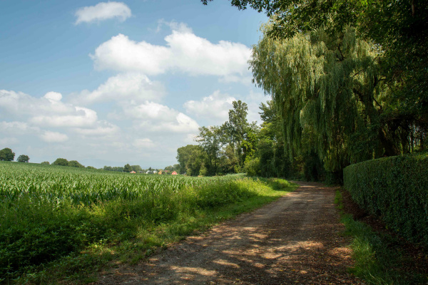
South of Mulhouse, in the municipality of Dietwiller, amidst fields and woodland, there is an elongated nature reserve with streams, wetlands and fish ponds. It is an ideal starting point for numerous hikes and walks in the region, which is characterised by maize cultivation.
The varied sections between fields and wetlands of the nature reserve serve as a habitat and retreat for a variety of different animals. Where the reed beds partially silt up, they provide an interesting habitat for a number of water birds. The nature reserve is also a well-known resting and wintering place for various migratory bird species.
Tour
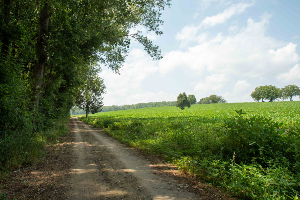
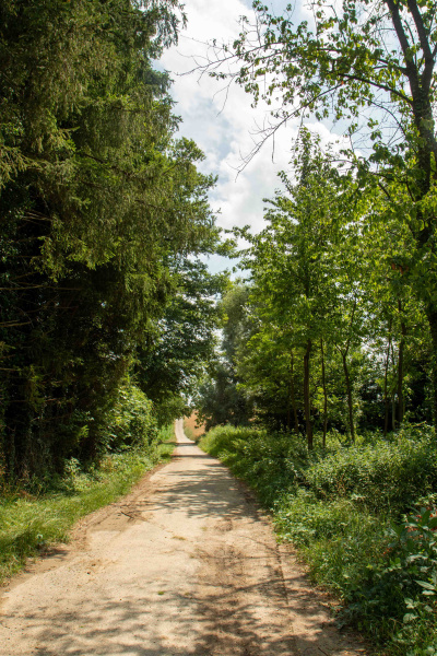
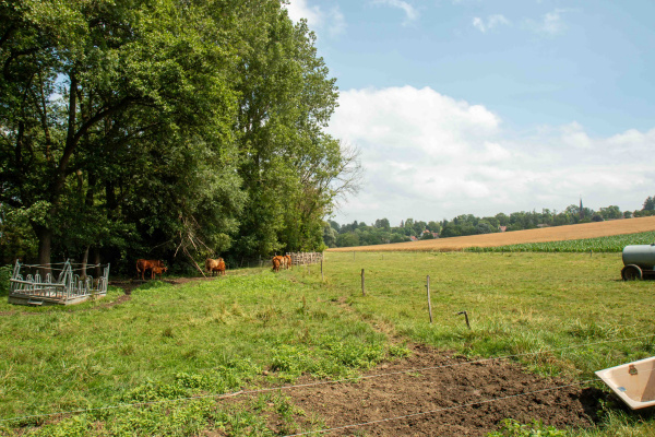
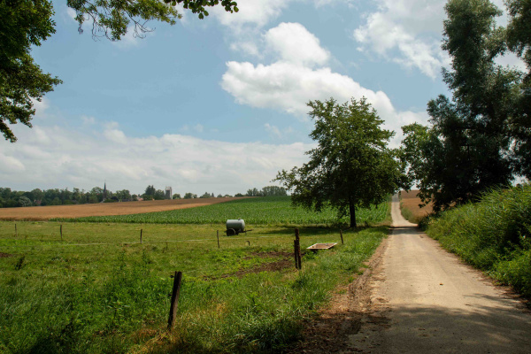
On the road from Dietwiller to Eschentzwiller, at the end of the village, there is a small bridge which serves as the starting point for the tour. At the crossroads, turn left and cross the small stream. Immediately behind it, a path begins between an avenue of poplars and fields and you can already find the first fish ponds. After a few hundred metres you reach a bilingual information board on the subject of "Marshes and reed beds". Here you will find an extensive reed belt and the protected area of the Conservatoire des Sites Alsaciens. You follow the reed area on small paths between reeds, old pastures and fields towards the adjacent village of Landser. In Landser, you will find the monastery of St. Alphons and more fish ponds. Once in Landser, follow the footpath to Bruebach at the beautiful village square. This is about three kilometres long and marked blue-white-blue. On the hilltop there is a crossroads where you turn left to reach a varied landscape with woods, hedges, orchards and fish ponds after various maize fields. At Bruebach, you can take the bus between Sierentz and Mulhouse. Alternatively, the route can be walked back to the starting point.
The walk is not suitable for wheelchairs or prams.
Refreshments
It is advisable to take food with you from your rucksack. There are only a few shops and various restaurants in the surrounding villages of Schlierbach, Landser and Bruebach.
Other greenbelt sites in the vicinity
By the water, Excursion with animals, Viewpoint, Walk
Bicycle, Car, Public transport
Food must be brought along
Amphibians, Birds, Cultural landscape / meadows, Fishes, Insects, Reptiles, Waters, Wetland
Tour
Families, Groups (< 10 persons), Groups (> 10 persons), Pets, School classes, Walkers
The nature reserve can be reached by public transport as well as by bicycle and car. However, as there are no dedicated parking spaces, travellers must park their vehicles in public car parks at the roadside.
Calculate route
Your email address will not be published.