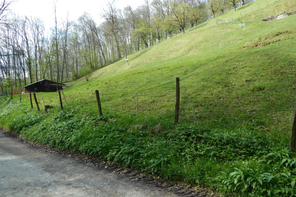
The Rütihard is the northernmost part of the Gempen plateau, which is part of the Tafeljura, and lies to the west of Muttenz in the canton of Basel-Landschaft. As a local recreation area, it is "on the doorstep" for the residents of Muttenz and Münchenstein, but also for Basel city dwellers. The Rütihard is the last remaining natural green area south-east of Basel and borders on a nature reserve, forest and the "Grün 80" recreation area in the municipality of Muttenz. Dedicated farmers and beekeepers have been cultivating the land for centuries. The flora and fauna are diverse.
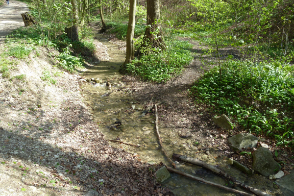
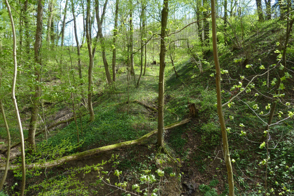
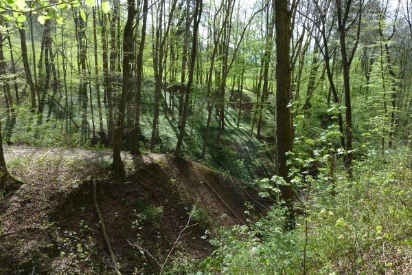
On the extensive plateau with partly agricultural land and partly different types of forest, for example, a lot of wild garlic and golden buttercup can be found. Due to the acidic loess clay layer, tree species are also found that are otherwise not native to the Jura. For example, a few sweet chestnuts grow in the forest. The Rütihard is also famous for its over 100-year-old beech and oak trees. On the valley sides of the deeply cut stream, the green shoots of the winter horsetail, which are particularly visible after the leaves have fallen, stand out in some places.
Together, stream and forest form an ideal habitat for the fire salamander, whose larvae can be discovered in quiet stream sections from March to July. The extensive old wood stands and islands with old trunks and tree hollows provide important habitats for cavity-nesting birds as well as bats and small mammals. No fewer than seven species of bats can be found here. In spring, more than 40 bird species, including the middle spotted woodpecker, can be identified by their songs.
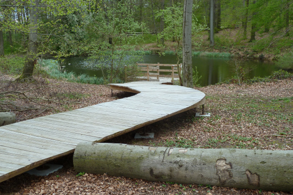
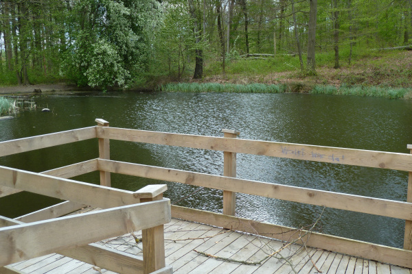
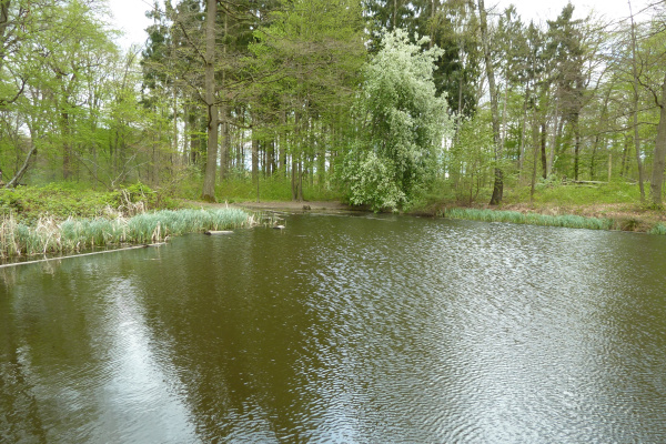
A special visitor attraction is the Rothallenweiher, which is the subject of various legends. A boardwalk takes visitors directly to the banks of the pond. A narrow hiking trail leads west of the Rothallenweiher through a Hainsimsen beech forest. While the herbs in this forest are sparse, the ground is covered extensively with mosses. The most conspicuous are the star moss and the bluish-coloured white moss.
Tour
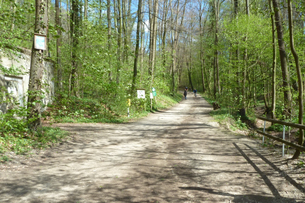
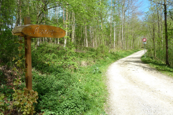
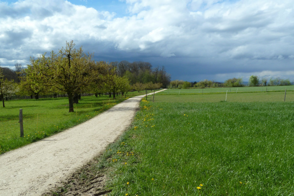
The starting point is the car park in the valley of the Teufelsgrabenbach. On the right side of the valley, the path leads up through the beech forest and offers a view of the stream cut deep into the loess loam. At the next junction, the path turns right towards Gruet. A narrow hiking trail branches off there at a riders' barrier. This path leads directly to the Rothallenweiher, which is located in a small clearing and surrounded by tall and old beech trees. A boardwalk, designed to avoid trampling damage in the forest, provides access to the pond's shore. Following the path in a northerly direction, you reach the wide Rothallenweg and turn right. At the next junction on the left, you leave the forest. In the open countryside, meadow orchards as well as fields predominate and from some places a fantastic view of the Dinkelberg with the Chrischonaturm and the Upper Rhine plain opens up. From the Musterplatz, where there is also a fireplace, there is the option of returning to the starting point to the left or continuing to the right across the open field to Muttenz.
The walk is only wheelchair and pushchair accessible outside the forest.
Refreshments
There is an officially designated fireplace at the Musterplatz where picnics and barbecues are possible. Muttenz and Münchenstein also offer several restaurants and shopping facilities.
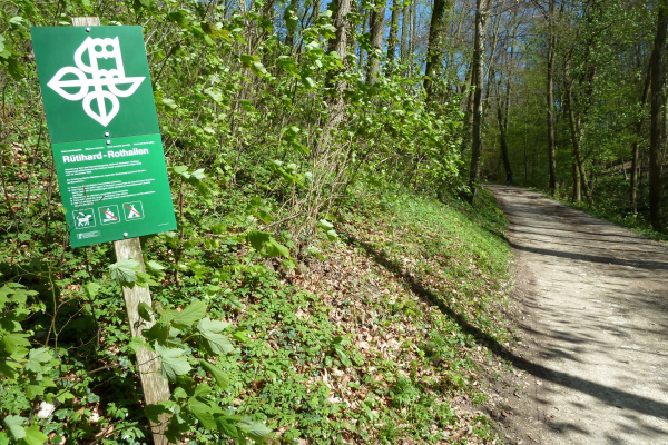
Other greenbelt sites in the vicinity
Barbecue / fireplace, By the water, Excursion with animals, Excursion with children, Hike (good footwear), Walk
Bicycle, Car, Public transport
Barbecue / fireplace, Food must be brought along, Picnic area
Amphibians, Birds, Cultural landscape / meadows, Forest, Insects, Specific fauna, Wetland
Tour
Families, Groups (< 10 persons), Groups (> 10 persons), Hikers, Pets, School classes, Walkers
Arriving by public transport is very convenient. Those arriving by car will find a car park west of the Birs at the end of Mühlenmattstrasse near the Teufelsgrabenbächli.
Calculate route
Your email address will not be published.