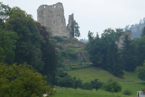
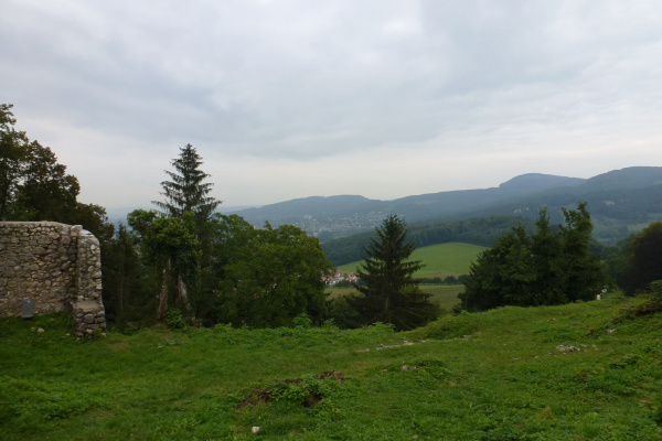
The Muggenberg is a mountain structure between Aesch and Grellingen that was shaped by Jurassic folding and the subsidence of the Rhine Graben. On the ridge of the Muggenberg, the path is narrow and overgrown with red dogwood and hawthorn. In between, however, the undergrowth thins out to reveal an impressive view of Angenstein Castle and the surrounding area. The area lies in a cantonal nature reserve.
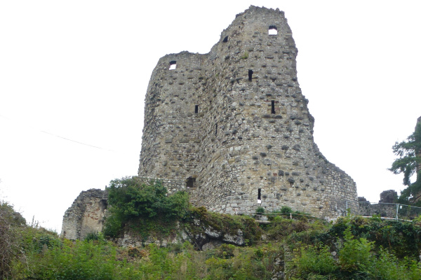
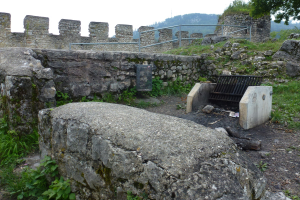
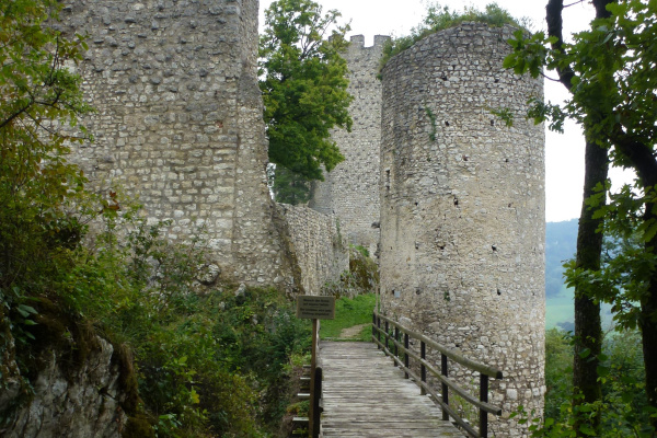
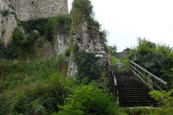
Across an open meadow you reach the Pfeffingen castle estate and, after another short climb, the Pfeffingen ruins. The Pfeffingen ruins were built in a strategically good location, offering a great view of the surrounding valleys and hills. This old castle was probably built before the 12th century and changed hands several times until its demise around 1760. Today you can still see the remains of the mighty residential tower and the strong shield wall. Cosy picnic and barbecue areas have been set up in and around these historic stone walls.
The forest at this warm southern edge is a sparse and drought-loving downy oak scrub. The soil here is shallow and holds little water due to the underlying limestone. It is covered with sessile oak, Scots pine and blackthorn.
Tour
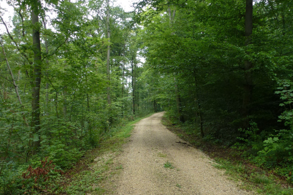
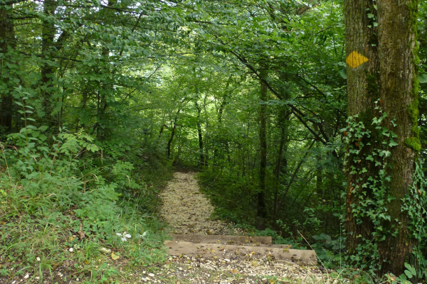
From Aesch railway station, follow the signposts along Pfeffingerstrasse and Schlossstrasse in the direction of Muggenberg. At the edge of the forest is the Eichberg children's playground. From here, a shady forest path leads to the ridge of the Muggenberg, the path leads to the Pfeffingen ruins. If you follow the hiking trail from the ruin in the direction of the "grossi Weid", you can soon walk down to the left into the castle moat and along the eastern side of the Muggenberg back to Aesch.
The path is not suitable for wheelchairs or prams.
Refreshments
There are cosy picnic and barbecue areas at the Pfeffingen ruins. There are also several restaurants and shopping facilities in the surrounding villages of Duggingen, Grellingen, Aesch and Pfeffingen.
Other greenbelt sites in the vicinity
Further information
Here you will find further information from our partner regionatur.ch on the topic 'Downy Oak Forest', the excursion 'Nature through the ages' and the municipality of Aesch.
Barbecue / fireplace, Culture, Excursion with animals, Excursion with children, Hike (good footwear), Playground, Viewpoint
Bicycle, Car, Public transport
Barbecue / fireplace, Food must be brought along, Picnic area
Birds, Cultural landscape / meadows, Forest, Insects, Reptiles
Castle / Ruins, Historical site, Tour
Families, Groups (< 10 persons), Hikers, Pets
By public transport you reach Aesch (BL), from where you follow the hiking trail signs via Pfeffingerstrasse and Schlossstrasse to the Muggenberg for about 45 minutes. Cars can be parked in public car parks in Aesch.
Calculate route
Your email address will not be published.