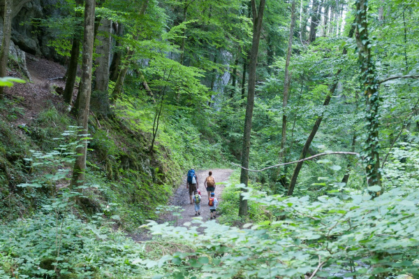
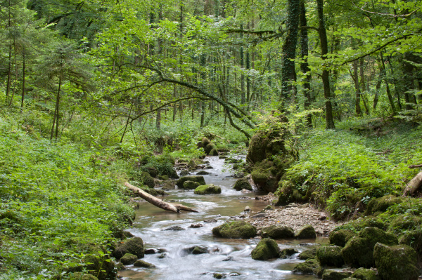
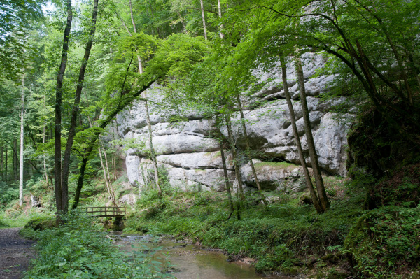
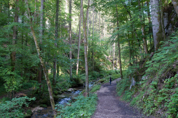
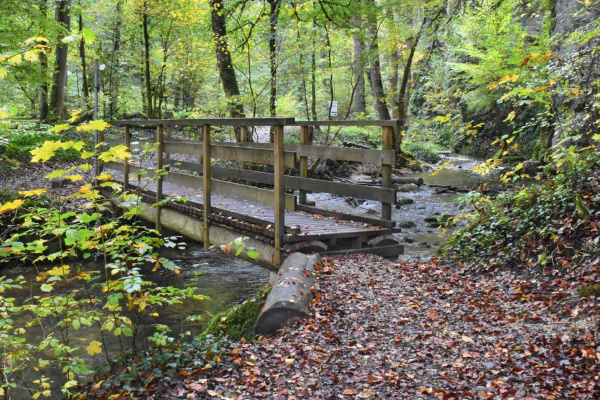
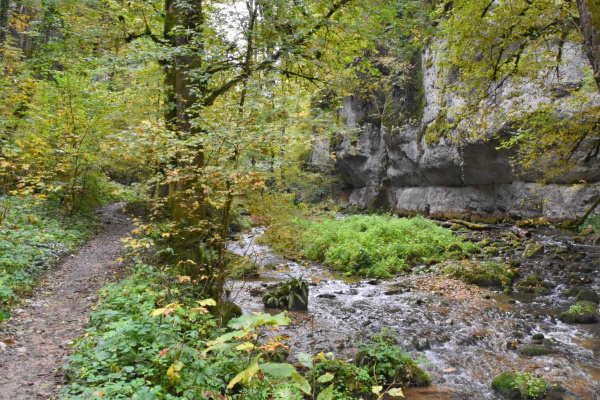
The Chaltbrunnen valley is a popular local recreation area in the Laufental valley in Baselland. As a side valley of the Birs, it stretches between the Chessiloch - caves inhabited in prehistoric times - west of Grellingen to the Meltinger bridge. A hike leads along the Ibach over bridges, boardwalks and past small waterfalls, narrow gorges and high cliffs. Especially on warm days, you will find a pleasant coolness with high humidity in this valley.
The Chaltbrunnen Valley nature reserve is home to numerous ferns and around 70 species of moss. Geologically, the Wappenfels and the various caves are particularly interesting. A theme trail in the Chaltbrunnental-Brislachallmet area introduces interested visitors to the typical waterways in a limestone area along with all the important cave and karst phenomena.
Tour
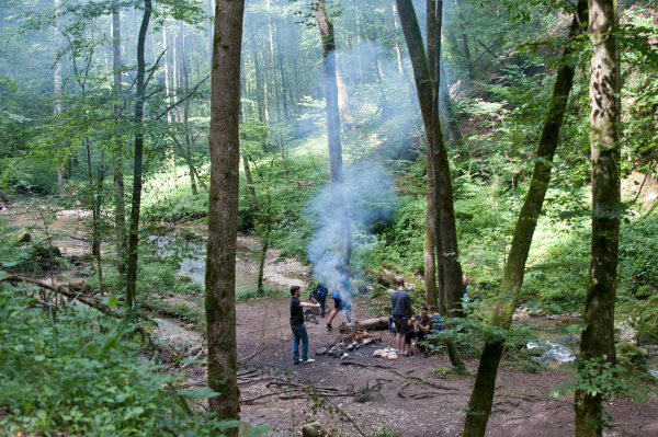
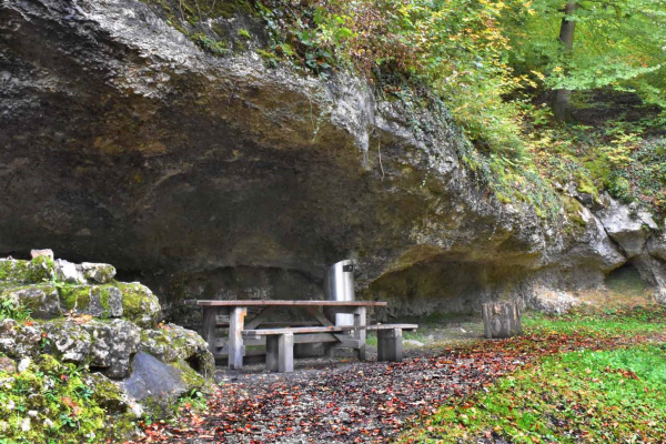
From Grellingen railway station, follow the signs to Chessiloch. On this path you will find a roofed barbecue site on the slope above. After the barbecue area, follow the railway line to a small stream crossing and the Wappenfels. A plaque under the railway bridge informs you about this special feature from the First World War. Signposts lead you towards the Chaltbrunnen valley. After passing another fire and picnic site, you finally reach the confluence of the Ibach and the Birs. The Chaltbrunnen valley begins at this "three-community corner". The path continues along the gorge. At the signpost to Ibach, you have the option of walking to Brislach or Breitenbach or continuing to follow the valley upstream. The end point of the Chaltbrunnen valley is at the sewage treatment plant. Behind it you reach meadows and pastures. From here you can either continue towards Meltingen and take public transport or decide to hike above the Chaltbrunnen valley back to Grellingen.
Refreshments
There are several picnic and barbecue facilities along the way. In Grellingen and the surrounding villages there are also shopping possibilities and restaurants for refreshments. For example, at the end of the Chaltbrunnen Valley is the Kaltbrunnental Restaurant.
Other greenbelt sites in the vicinity
Further information
Here you will find further information from our partner regionatur.ch on the topic of 'Ravine Forests' and on the Chaltbrunnen Valley excursion.
Barbecue / fireplace, By the water, Excursion with animals, Excursion with children, Hike (good footwear), Walk
Bicycle, Car, Public transport
Barbecue / fireplace, Food must be brought along, Picnic area, Restaurant, Shopping facilities nearby
Amphibians, Birds, Caves, Cultural landscape / meadows, Forest, Insects, Reptiles, Specific fauna, Waters, Wetland
Tour
Families, Groups (< 10 persons), Hikers, Pets, Walkers
You can easily get to Grellingen railway (where there are also parking facilities) by train, bicycle or car. From Grellingen station, the path to Chessiloch is signposted. At the end of the suggested tour in Meltingen, return to the starting point on foot or by post bus to Laufen or Basel.
Calculate route
Your email address will not be published.